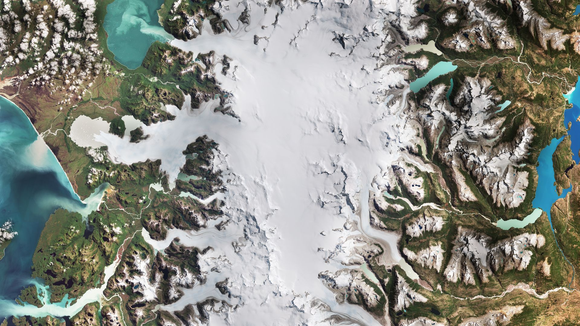
A remarkable geological phenomenon has been observed in the floodplains of Kazakhstan, where a colossal sandy formation, nicknamed the “sandy slug,” is slowly moving across the landscape. This unusual event has been documented by both ground observations and satellite imagery, including striking images from NASA’s Earth Observatory, which captured the dune field’s gradual migration. Scientists are particularly intrigued by how this giant sand body, stretching across hundreds of meters, interacts with the seasonal floodplains and prepares for the harsh winter freeze, which may immobilize it entirely.
Formation And Movement Of The Sandy Slug
The Oyyl dune field in Kazakhstan provides a rare glimpse into a type of sandy structure that is neither a typical desert dune nor a simple sediment pile. The formation behaves like a viscous body, creeping across the floodplain at a rate measured in meters per year. This movement is driven by seasonal water flows, sediment deposition, and wind dynamics unique to the region. During spring and summer, melting snow and floodwaters lubricate the sandy mass, allowing it to advance slowly across the otherwise flat landscape. The sandy slug’s irregular surface, marked by ridges and depressions, indicates areas of active sediment transport and erosion, giving scientists a live laboratory to study geomorphological processes.
The mechanics of this migration involve complex interactions between soil composition, moisture levels, and wind patterns. The sandy slug is composed predominantly of fine-grained sands, which, when wet, create a dense, sticky matrix that supports gradual movement rather than rapid collapse. Researchers suggest that these formations could resemble ancient patterns that shaped river plains in semi-arid climates, offering a window into past geological activity in Central Asia.
Satellite Observations And Data Insights
High-resolution satellite imagery has been instrumental in tracking the progress of the sandy slug. NASA’s Earth Observatory imagery shows the dune field’s elongated shape and distinct movement patterns, which are visible over consecutive years. Such data allows scientists to measure the rate of advance, monitor changes in surface texture, and predict seasonal immobilization due to freezing.
The use of remote sensing tools like Landsat and Sentinel satellites has provided precise measurements of height variation and displacement. These observations confirm that the sandy slug does not simply shift randomly but follows a directional flow likely influenced by prevailing winds and the subtle gradient of the floodplain. The integration of satellite data with on-site field studies allows researchers to model sediment transport and better understand how this rare geomorphological feature evolves over time.
Seasonal Impact And Freeze Patterns
The movement of the sandy slug is not constant year-round. During autumn, the approach of winter begins to slow its migration as temperatures drop and the floodplains freeze. Ice formation within the sand and surrounding wetlands creates a rigid structure that can halt movement entirely for several months. This seasonal freeze plays a critical role in shaping the dune’s morphology, as trapped moisture expands and contracts, altering ridges and depressions within the sand body.
Scientists warn that the freezing process also preserves delicate surface features, offering an unparalleled snapshot of the dune’s active morphology. Once the thaw begins, sediment redistribution resumes, and the sandy slug continues its slow crawl. Understanding this seasonal cycle is vital for researchers studying floodplain dynamics, sediment transport, and the long-term evolution of semi-arid landscapes in Central Asia.
Geological Significance And Research Opportunities
The sandy slug phenomenon presents multiple opportunities for scientific exploration. Unlike typical desert dunes, which primarily respond to wind, these formations are driven by combined hydrological and sedimentary processes. Researchers can use the Oyyl dune field as a natural laboratory to investigate sediment mobility, floodplain evolution, and the interactions between soil moisture and geomorphology.
Moreover, the study of this moving sand mass could improve understanding of similar slow-moving sedimentary features worldwide, from river deltas to coastal sand bars. By integrating field studies with satellite monitoring, scientists are uncovering the mechanisms behind slow sediment creep, its impact on floodplain ecosystems, and the potential consequences for local biodiversity.
Implications For Local Communities And Ecosystems
While the sandy slug’s movement is gradual, it has tangible effects on the surrounding floodplain environment. Shifting sands can alter drainage patterns, affect wetland areas, and influence soil moisture levels critical for vegetation. Local wildlife, particularly species adapted to semi-arid environments, may rely on these subtle landscape changes for habitat formation and seasonal migration patterns.
Additionally, monitoring these slow-moving dunes is increasingly important in the context of climate change. Variations in snowmelt, rainfall, and temperature could accelerate or impede sand migration, with downstream effects on water resources, agriculture, and ecosystem stability. Continued observation using both satellites and field studies ensures that researchers can provide early warnings of significant geomorphological changes.
A Window Into Earth’s Dynamic Surface
The slow crawl of Kazakhstan’s sandy slug highlights the dynamic nature of Earth’s surface, even in seemingly static landscapes. As captured in NASA’s Earth Observatory imagery, the Oyyl dune field serves as a compelling example of how landforms continue to evolve under the influence of water, wind, and seasonal temperature changes. By studying these unique movements, scientists gain insights not only into local geology but also into the broader processes shaping floodplains and semi-arid regions worldwide.
This phenomenon reminds us that even the quietest landscapes are in motion, offering a rare glimpse of the delicate interplay between sediment, water, and climate over time. Observing these movements from space allows humanity to appreciate the subtle yet profound forces continuously reshaping our planet.
Source link

