After an unusually slow start to hurricane season, it’s looking like storm activity is about to ramp up. Meteorologists are keeping a watchful eye on the Atlantic Basin as ocean surface temperatures rise to record levels.
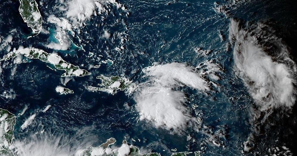
So far, the 2025 Atlantic hurricane season has produced four tropical storms and no hurricanes. As of Friday, August 8, the National Hurricane Center (NHC) was monitoring two areas of interest for storm development—one off the southeastern U.S. and the other in the Central Atlantic. The NHC says the odds of development for both systems are low, but high ocean surface temperatures are raising concerns about hurricane potential.
“As the 2025 Atlantic Hurricane Season enters its historical peak, atmospheric and oceanic conditions continue to favor an above-normal season as NOAA first predicted in May,” NOAA stated in an update on Thursday, August 7. Warmer-than-average sea surface temperatures in the tropical Atlantic Ocean and Caribbean Sea are one of several factors that could contribute to elevated storm activity, the update reads.
Strong marine heatwaves—persistent periods of above-average ocean temperatures—are present over much of the North Atlantic off the East Coast, according to NOAA’s Physical Sciences Laboratory. On Sunday, August 3, Miami-based hurricane specialist Michael Lowry shared NOAA data showing record-high sea temperatures across the western Atlantic and the Gulf of Mexico.
Warmer ocean surface temperatures create more energetic storms, helping them develop into hurricanes, according to NOAA. In 2024, marine heatwaves fueled Hurricane Helene and Hurricane Milton, resulting in billions of dollars in damage along the East Coast. The 2023 Atlantic hurricane season was also characterized by extreme sea surface temperatures, producing the fourth-highest number of named storms since record keeping began in 1950. As the global average temperature rises, marine heatwaves are becoming more intense and persistent. This is partly why climate change leads to stronger hurricanes.
Sea surface temperatures aren’t the only factor meteorologists are paying attention to, however. In July, Department of Defense meteorologist Eric Webb said atmospheric conditions may help more storms make landfall on the East Coast than normal this season, The Washington Post reports. “I’m honestly more convinced of that now than I was then,” he told the publication this week, pointing to high ocean temperatures and air pressure patterns that could guide storms toward the U.S.
What’s more, the Madden-Julian Oscillation may raise the risk for additional storms in late August as it crosses Africa, The Washington Post reports. NOAA describes the MJO as an eastward-moving disturbance of clouds, rainfall, winds, and pressure that traverses the planet over one to two months before returning to its starting point. Models suggest these conditions may add to increasing activity in the Atlantic Basin after August 15, according to the Washington Post.
The Atlantic hurricane season historically peaks in September, so seeing storm activity increase in August isn’t unusual. That said, unprecedented oceanic and atmospheric conditions driven by climate change are poised to rapidly shift the course of this slow-to-start season. Multiple non-hurricane-strength storms have already brought devastating impacts to the U.S. this year. Remnants of Tropical Storm Barry contributed to deadly July 4 flooding in the Texas Hill Country, and Chantal caused significant damage in North Carolina. The affected communities will be particularly vulnerable to any storms that make landfall in their area as cleanup efforts continue.
Source link


